±3cm Real-Time Guidance
Wireless Installation
Nonnav integrates high-precision GNSS RTK with dynamic attitude sensing technology to deliver centimeter-level excavator guidance. No surveyors needed. No complex wiring. Just turn it on and dig.
FARO S9 RTK Receiver
GNSS Antenna
Sensor
Hardware Overview
Built on proven technology from nonnav — Wuhan’s leading construction intelligence innovator
Core Technology
Years of R&D in GNSS fusion positioning, inertial navigation, and intelligent control algorithms — purpose-built for construction machinery.
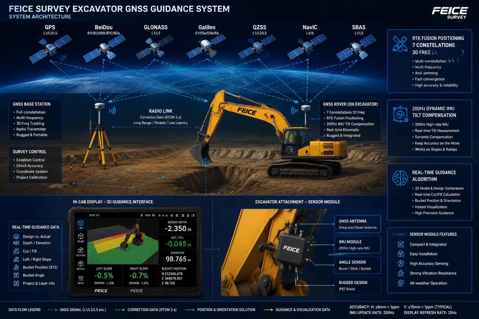
GNSS RTK Fusion
Ultra-compact receiver supporting GPS, BDS, GLONASS, Galileo, QZSS, IRNSS, and L-Band — 7 constellations, 30 frequencies for robust positioning in any environment.
Dynamic IMU
200Hz high-update-rate inertial measurement unit with 60° tilt compensation. Deep fusion of satellite positioning and inertial navigation ensures accurate bucket tip positioning at any arm angle.
Smart Guidance Algorithm
Self-developed algorithms calculate real-time depth, slope, and bucket trajectory. Graphical and numerical guidance means operators see exactly how deep and level they are — instantly.
Beidou Native
Full Beidou-3 support with dual-frequency signals. Built-in anti-jamming technology and ionospheric suppression algorithm maintain fixed-solution stability even under challenging conditions.
Product Features
Refined through one year of co-development with over 100 frontline excavator operators.
Centimeter Precision
Real-time bucket tip positioning within ±3cm, enabling consistent accuracy for leveling, sloping, and trenching operations.
Quick Installation
Fully wireless design — no welding required. A skilled technician can complete installation in approximately 20 minutes.
Real-Time Feedback
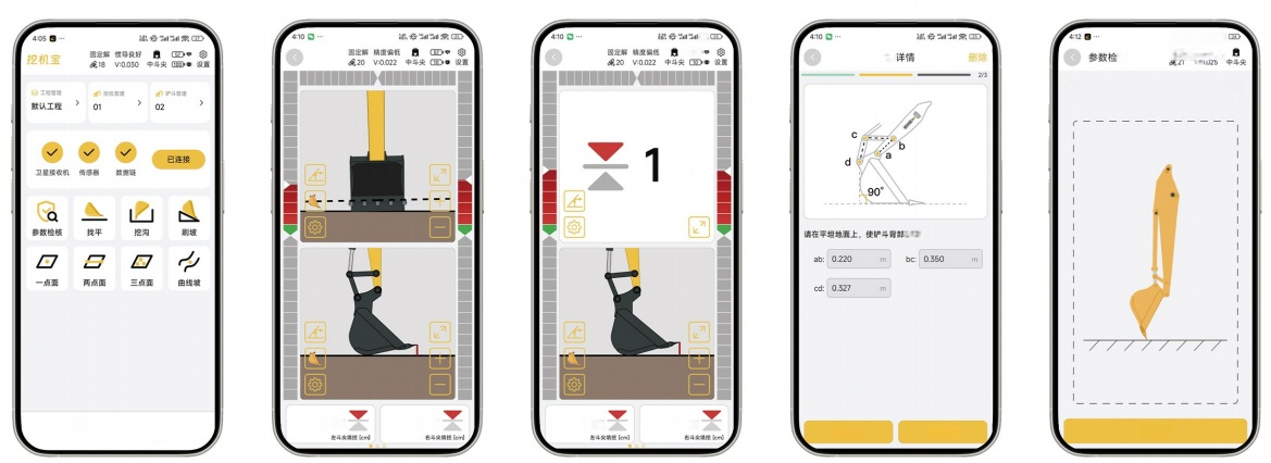
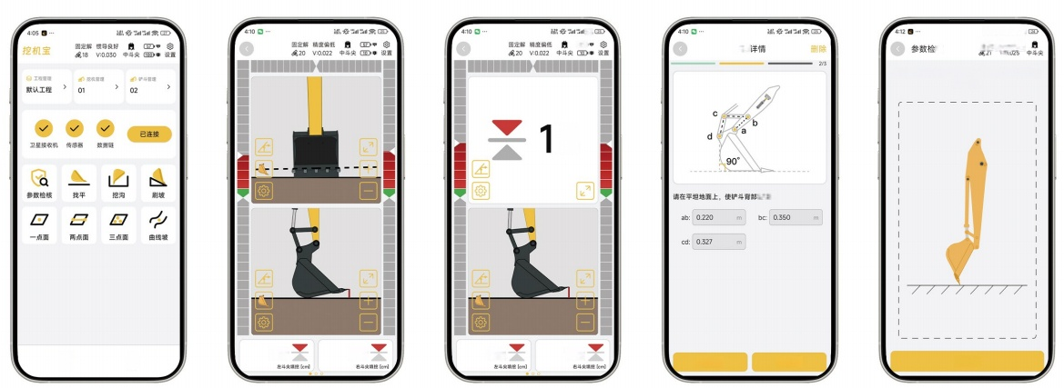
Operators see depth, slope, and bucket position on-screen instantly. One glance tells you how deep and how level — no second-guessing.
Reduced Skill Dependency
Novice operators can achieve experienced-level precision with real-time guidance. No dedicated surveyor required on site.
Application Scenarios
Four core excavator operations, each powered by intelligent GNSS guidance.
Leveling
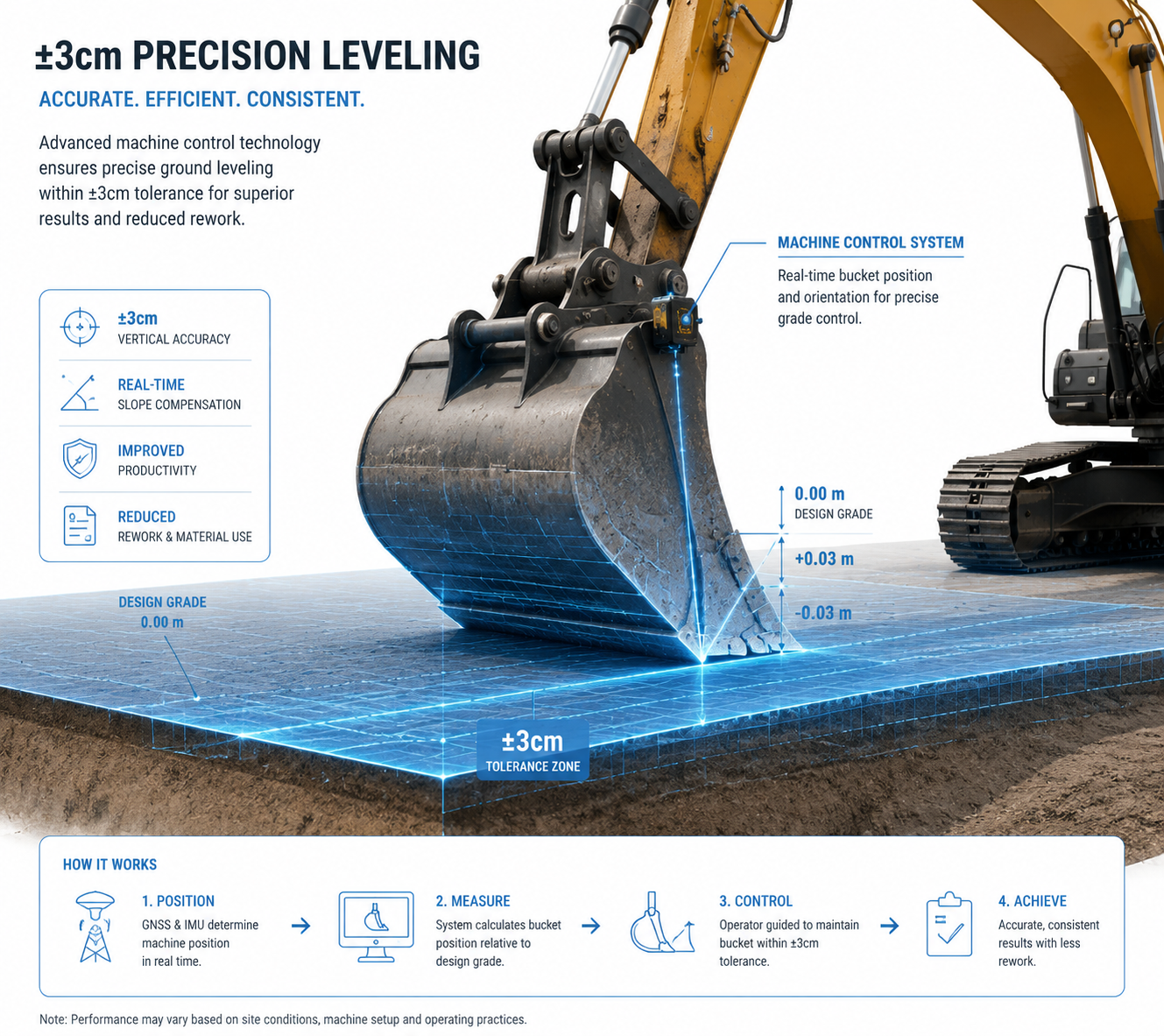
Automatically guides the bucket based on GNSS elevation data to achieve ±1-3cm flatness. Eliminates manual grade checking and repeated measuring.
Sloping
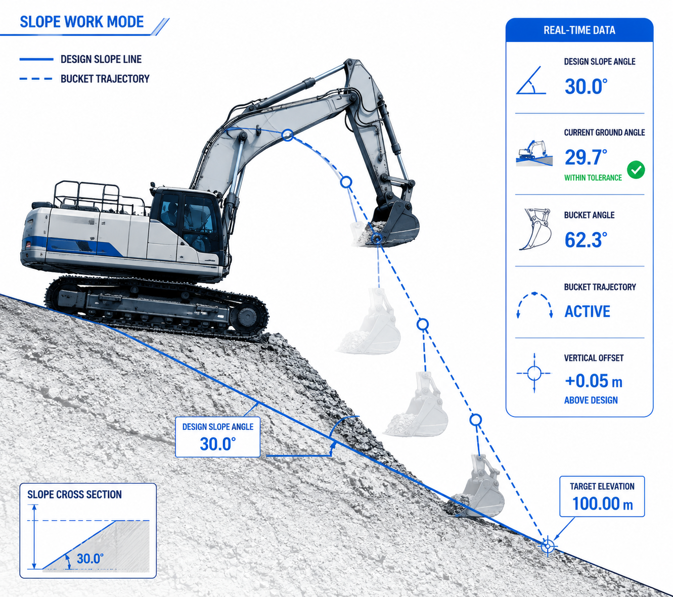
Calculates bucket trajectory based on the design slope angle. Forms precise ramps and cross-sections without manual stakeout.
Trenching
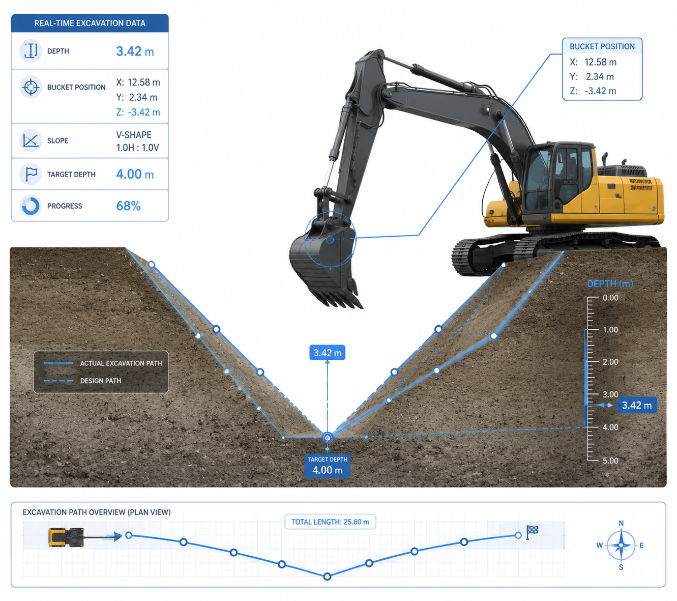
Pre-set trench parameters then auto-generate the optimal excavation path. Supports V-shaped and rectangular cross-sections.
Parameter Check
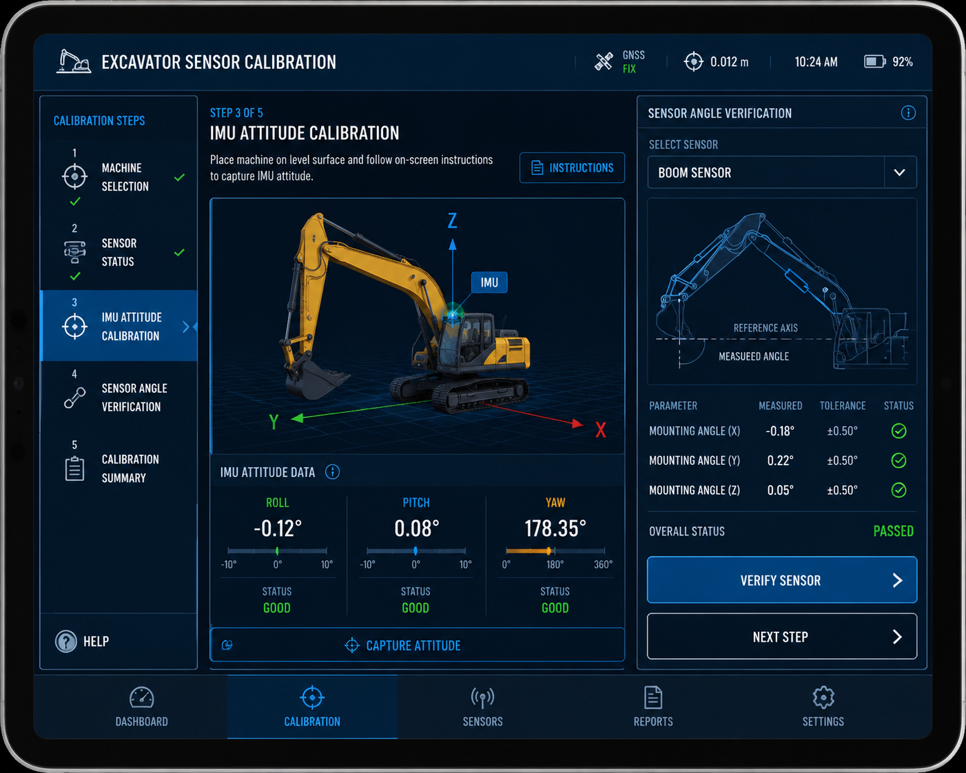
Rapidly verify all key sensor and receiver parameters to confirm the system is operating within specification before starting work.
Choose Your Configuration
Two precision levels, one intelligent platform. Select the setup that matches your project scale.

Antenna on Boom
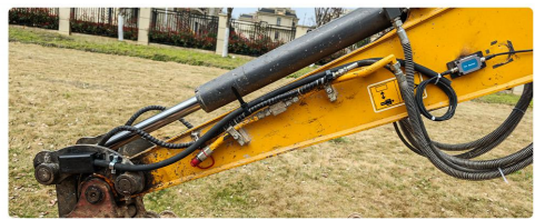
Sensor on Bucket
Professional Grade
For large-scale projects demanding maximum reliability and precision.
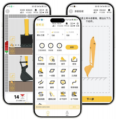
- ±3cm bucket tip accuracy
- 2 GNSS receivers + 2 attitude sensors
- Dual-antenna redundancy for maximum reliability
- Full accessory kit: receivers, sensors, tablet, mounts
Standard Grade
For medium-scale projects seeking a balance of capability and simplicity.
- ±1-3cm digging accuracy
- 1 integrated receiver + 1 sensor
- HUD display for in-cab guidance
- Includes installation tool kit + 2-year warranty
Engineering Excellence
Our technology stack spans from satellite positioning to machine control — built by engineers, proven in the field.
Frontline excavator operators participated in one year of software co-development and field testing
Core technology pillars: RTK fusion positioning, intelligent guidance algorithms, unmanned construction control
Constellations × Frequencies — the FARO S9 RTK platform demonstrates our deep GNSS engineering capability
“nonnav is a Wuhan-based innovation enterprise specializing in construction machinery intelligence and Beidou high-precision positioning. Our mission: replace traditional methods with intelligent solutions.”
— nonnav, Wuhan Feice Technology Co., Ltd.
Complete Product Line
Beyond excavator guidance, Nonnav offers a full range of surveying solutions.
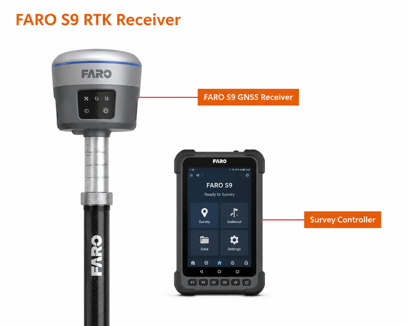
FARO S9 RTK Receiver
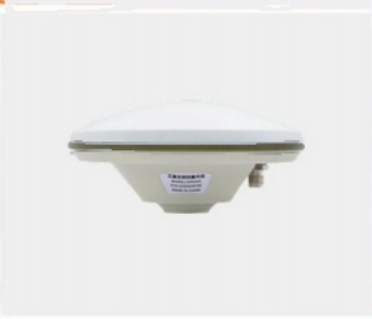
GNSS Antenna
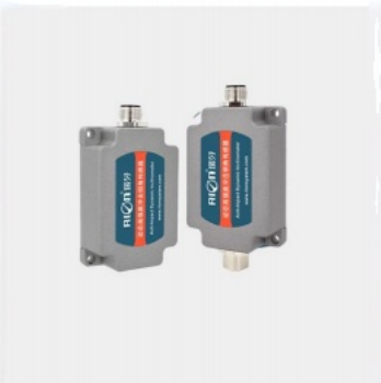
Sensor
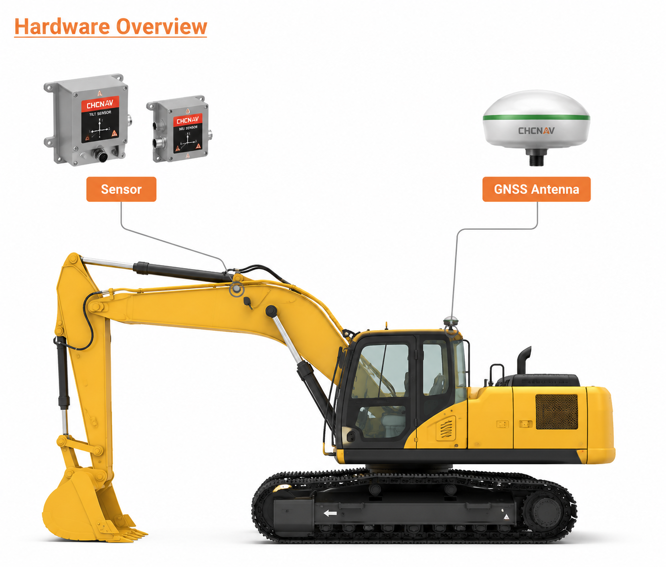
Hardware Overview
FARO S9 RTK Receiver
High-precision centimeter-level RTK with 7-constellation, 30-frequency support. Instant fix, 15h battery, 60° IMU, IP67 rated.
Total Station
Industry-standard total station for general surveying and engineering layout tasks. Global universal terminology.
Frequently Asked Questions
How accurate is the Nonnav guidance system?
How long does installation take?
Does the system require a surveyor on site?
What satellite systems are supported?
What warranty and support do you offer?
Start Your Free Trial
Experience Nonnav on your equipment. No commitment, no risk.