Nonnav · Updated August 23, 2026 · Estimated read time: 11 minutes
Key Takeaways
- GNSS guidance works anywhere with open sky and covers the whole site at once, but its ±2-3cm accuracy depends on RTK corrections and satellite visibility.
- Total station guidance holds ±5-10mm, the tightest of the three, but it needs a clear line of sight between the instrument and the machine, so it tracks one machine at a time.
- Laser guidance is the cheapest and simplest option for flat, single-plane work like trench bottoms and slab subgrades, and it is the wrong tool for complex 3D grading.
±2-3cm
GNSS Accuracy
±5-10mm
Total Station / Laser
$2-20k
Hardware Range
1-4 mo
Typical Payback
The Three Technologies, One Question
Every excavator guidance system answers the same question: where is the bucket, and how far is it from where it should be? The three mainstream technologies answer it differently, and each answer comes with a different price, a different setup, and a different set of jobs it fits.
This guide compares GNSS (satellite positioning), total station (optical tracking), and laser (rotating plane reference) guidance for excavators. It ends with a decision matrix that maps job types to the right technology, so the choice is driven by the work you actually do rather than by which salesman talks the loudest.
How Each Technology Works
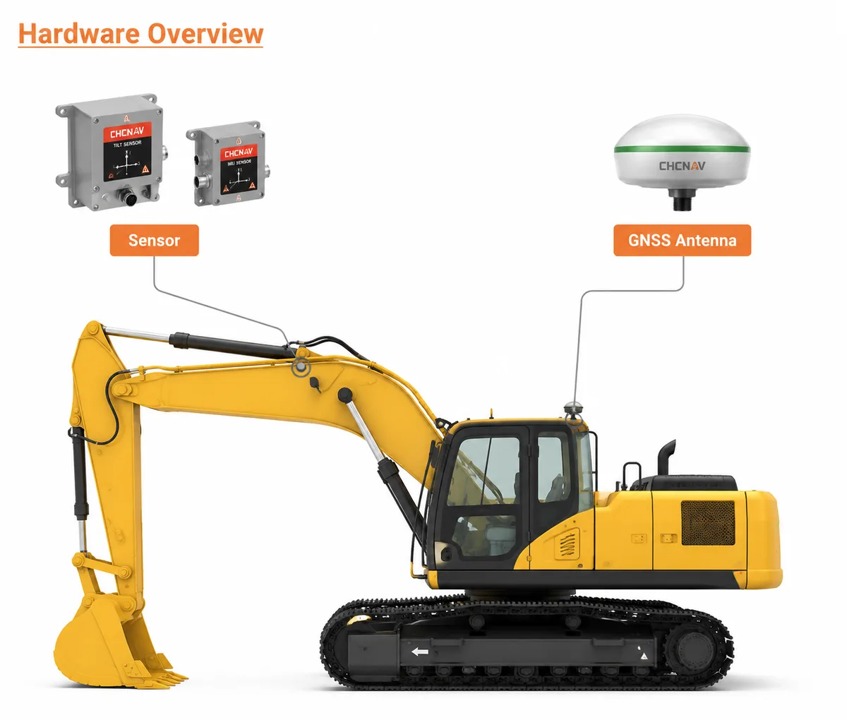
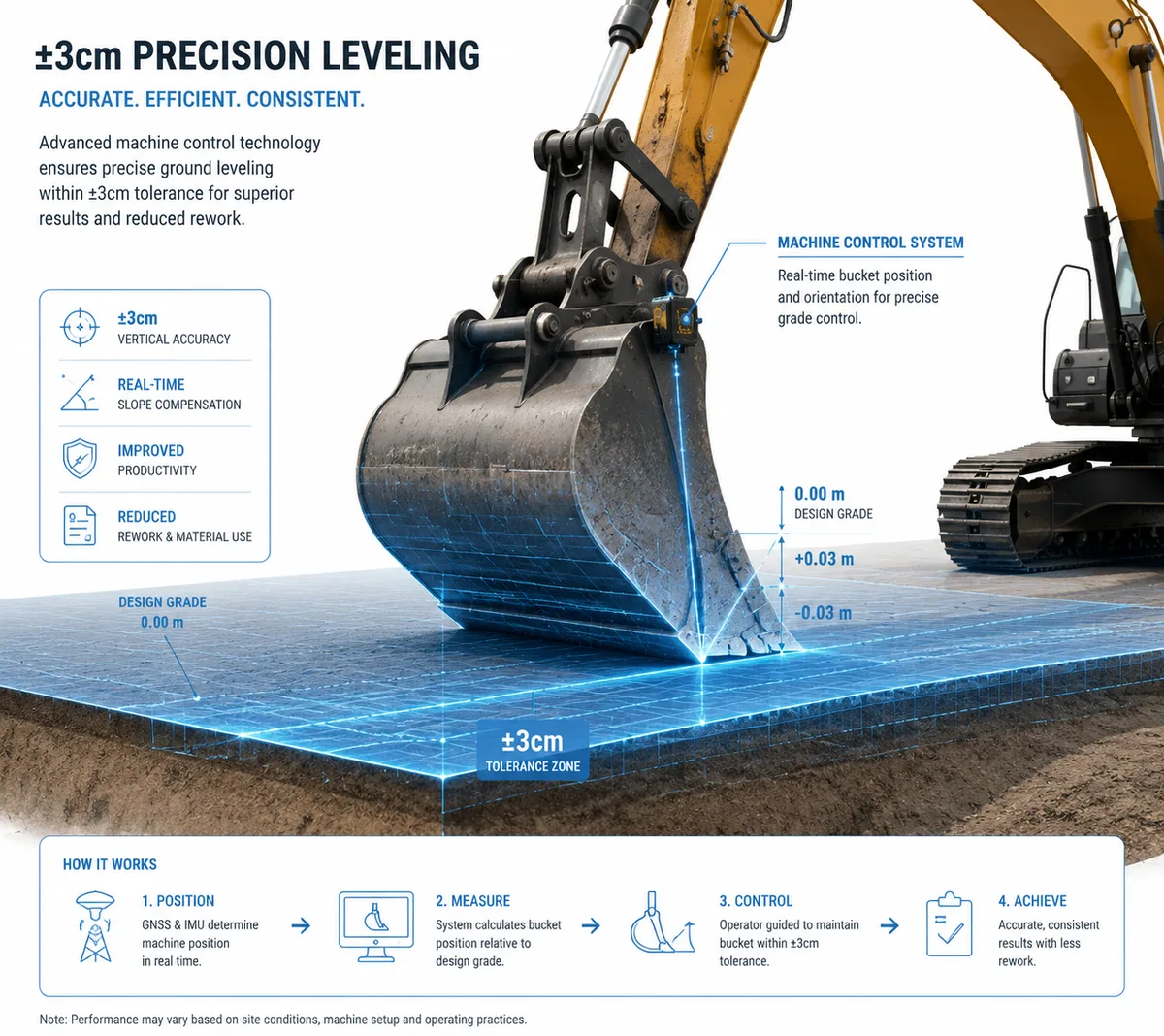
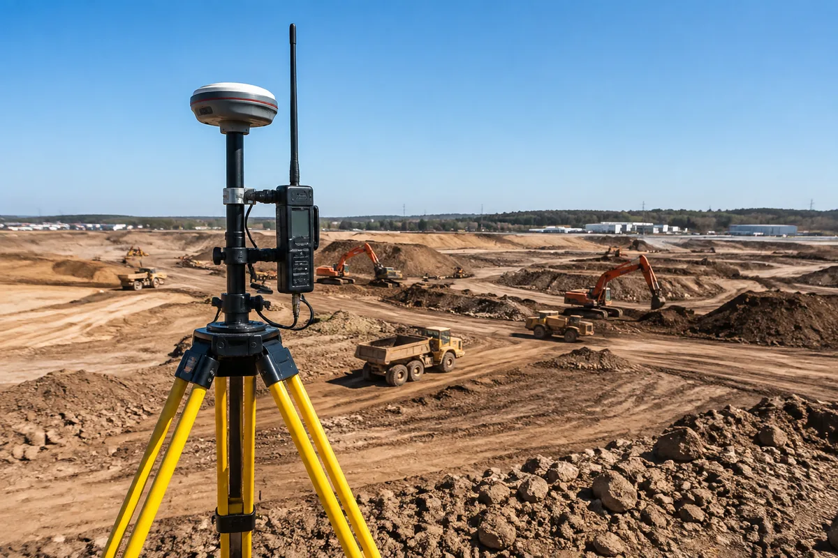
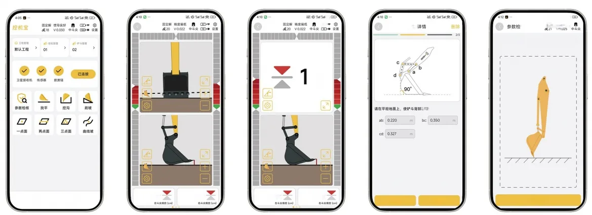
GNSS Guidance. GNSS guidance uses satellites to fix the machine’s position, then IMU sensors on the boom, arm, and bucket calculate the bucket tip in 3D space. With RTK corrections, horizontal accuracy lands at ±2-3cm. Good for large sites, multiple machines, and complex 3D grading. Limited by satellite visibility: deep trenches, tree cover, and high walls block or degrade the signal.
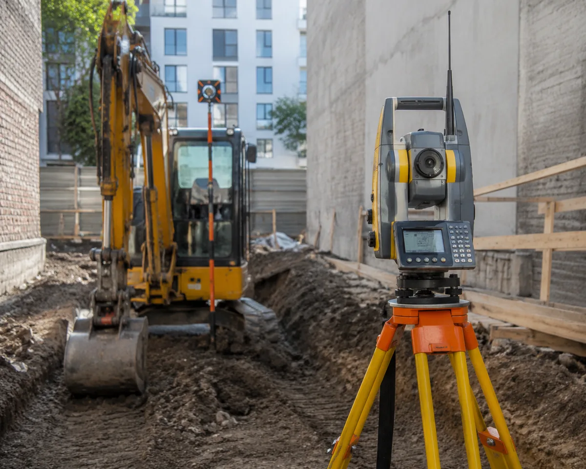
Total Station Guidance. A total station is a robotic optical instrument that tracks a prism mounted on the machine. It measures angles and distances to the prism, giving the bucket position with ±5-10mm accuracy. Good for precision work in confined or obstructed areas where GNSS loses signal. Limited by line of sight: the instrument must see the prism, so it tracks one machine at a time.
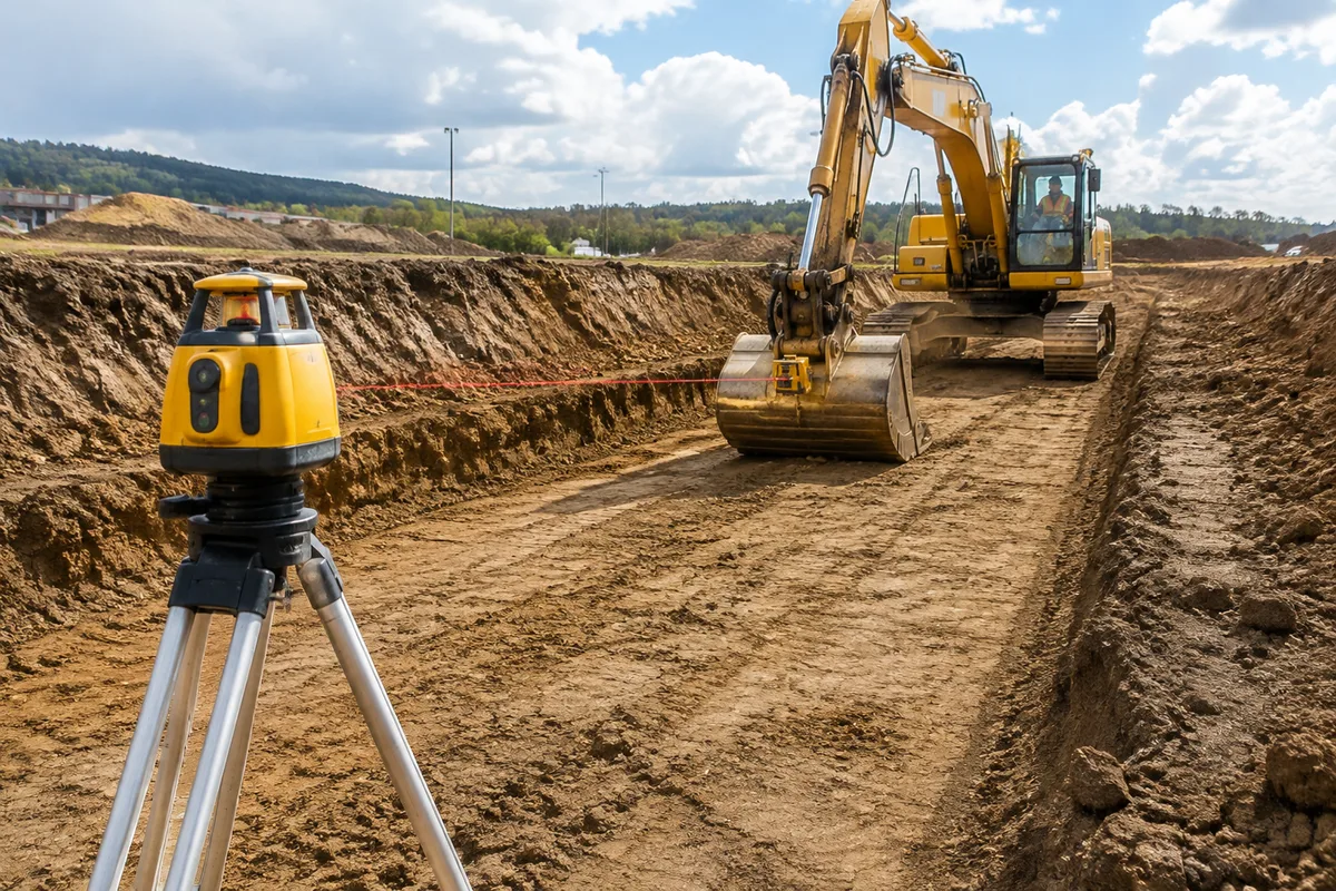
Laser Guidance. A rotating laser on a tripod creates a reference plane. The machine’s receiver detects its height relative to that plane, and the operator gets a simple cut/fill readout. Good for single-plane work: trench bottoms, foundations, slab subgrades. Limited to one plane at a time: it cannot handle slopes, curves, or multi-plane 3D surfaces.
Head-to-Head: GNSS vs. Total Station vs. Laser
| Dimension | GNSS (RTK + IMU) | Total Station | Laser |
|---|---|---|---|
| Typical accuracy | ±2-3cm horizontal | ±5-10mm | ±5-10mm in plane |
| Coverage | Whole site at once | One machine at a time | One plane at a time |
| Line of sight needed | No | Yes (instrument to prism) | No (receiver reads plane) |
| 3D multi-plane grading | Yes | Yes | No |
| RTK correction required | Yes | No | No |
| Hardware cost | $12,000-20,000 | $8,000-15,000 | $2,000-5,000 |
| Setup per shift | Minimal (wireless, stays on machine) | 30-60 min tripod + reference | 15-30 min, re-leveled |
| Typical payback | 2-4 months on precision-heavy jobs | 3-6 months on confined precision work | 1-3 months on flat production work |
Cost-Benefit: What You Pay Per Technology
| Cost Item | GNSS | Total Station | Laser |
|---|---|---|---|
| Hardware (retrofit) | $12,000-20,000 | $8,000-15,000 | $2,000-5,000 |
| Annual RTK subscription | $800-1,500 | $0 | $0 |
| Setup per shift | Minimal | 30-60 min | 15-30 min, re-leveled |
| Operator training | Moderate | Low | Lowest |
The ratio that matters is cost per job completed, not sticker price. A $3,000 laser that finishes trench work 20% faster pays for itself fast. A $16,000 GNSS system that eliminates grade checking on a 40-acre site pays for itself faster still, because it removes the surveyor from the equation entirely.
KEY DATA POINT
Laser hardware runs $2,000-5,000, roughly a quarter of a GNSS system. On flat production work, that gap means a laser can pay for itself in one to three months of trench work alone.
NOT SUITABLE WHEN
Laser is not suitable for slopes, curves, or multi-plane 3D surfaces. Total station is not suitable for multiple machines roaming a large open site. GNSS is not suitable for deep trenches or under tree cover where satellites disappear.
Decision Matrix: Match the Job to the Technology
| Job Type | Tolerance | Best Technology |
|---|---|---|
| Bulk earthworks, mass grading | ±10cm | GNSS |
| Complex 3D grading (slopes, curves) | ±3cm | GNSS |
| Deep trenches, confined sites | ±3-5cm | Total station |
| Tunnel portals, structures | ±5-10mm | Total station |
| Trench bottoms, flat foundations | ±5mm in plane | Laser |
| Slab subgrade, parking lots | ±5-10mm | Laser |
| Mixed fleet, multiple jobsites | varies | GNSS (wireless, transferable) |
| Night or low-visibility work | varies | GNSS |
Decision Engine: If X → Choose Y
If your site is open, machines roam the whole site, and you need 3D grading → choose GNSS guidance. It is the only one of the three that tracks a moving machine across a large area without anyone on the ground pointing at it.
If your work is confined, deep, or behind walls where satellites disappear → choose total station guidance. The optical link is a feature in those conditions, not a limitation.
If your work is flat, single-plane production such as trench bottoms or slab subgrades → choose laser guidance. It is a fraction of the cost and does the job.
If you run a mixed fleet and switch jobsites often → choose a wireless GNSS system that transfers between machines, and add a laser for the flat production jobs.
If you need millimeter accuracy for structures → choose total station, and keep a laser as the cheap daily driver for flat work.
Common Misconceptions
“GNSS is always more accurate than laser.” False in the vertical plane. A laser reference plane is level to ±5-10mm, which beats GNSS vertical accuracy on flat work. GNSS wins on 3D coverage, not on raw precision for a single plane.
“Total station is obsolete.” False. It is the accuracy champion in confined and obstructed sites, exactly where GNSS fails. The line of sight that looks like a weakness is what makes it work indoors, under bridges, and in deep cuts.
“Laser can’t do real grading.” Mostly true, and that is fine. Laser does single-plane grading well. It is the wrong tool for slopes and 3D surfaces, but buying it for flat production work is smart money.
“The most expensive system is the best investment.” False. The best investment is the system whose cost per completed job is lowest for the work you actually win. For a contractor who mostly digs flat trenches, a laser out-earns a GNSS system for years.
How to Verify the Technology Choice on Site
Before committing to a technology, run a three-day trial on a real job:
- Check the actual accuracy. Dig a test section and survey it. Compare the in-cab readout with the surveyed surface. Do it at the start and end of a shift to catch drift.
- Time the setup. Measure how long setup takes from arrival to digging. Setup time is the hidden cost that shows up in every bid.
- Watch the downtime. Count every stop caused by lost signal, lost line of sight, or re-leveling. Downtime is where a technology choice pays or bleeds.
- Ask the operators. The operator who lives in the cab will tell you within a day which system fights them and which one helps.
Conclusion
GNSS, total station, and laser are not competing upgrades of the same thing. They are three different tools for three different jobs. GNSS covers the whole site and handles 3D grading; total station takes over where satellites disappear and delivers millimeter accuracy; laser does flat, single-plane production work at a fraction of the cost.
Contractors who match technology to job type get the cheapest cost per completed job. Contractors who buy one system for everything pay for capabilities they never use, on jobs where a simpler tool would have finished first.
If You Only Remember One Thing
Match the technology to the job: GNSS for open-site 3D grading, total station for confined precision work, laser for flat production work. The cheapest cost per completed job is the right metric, not the sticker price.
Get a Custom Quote
Tell us your fleet size and the job types you run, and we will send pricing for the tier that fits your contract tolerances.
Frequently Asked Questions
References & External Resources
Industry research on machine control technology impact on earthwork productivity
Manufacturer documentation comparing machine control technology types
GNSS manufacturer perspective on guidance technology selection
Total station and machine control manufacturer product documentation
Practical contractor guide to machine control adoption
Operator training provider guide to guidance systems